Meet
EarthTones
Discover Our Data
EarthTones is Esper’s flagship product aiming to deliver real time site specific hyperspectral imagery data to support industry leaders.
The data can be applied in a wide variety of uses such as vegetation, land cover, disaster management, and so much more. Applying our data will improve your classification and monitoring efforts and ultimately lead to more sustainable decisions.
The Platform
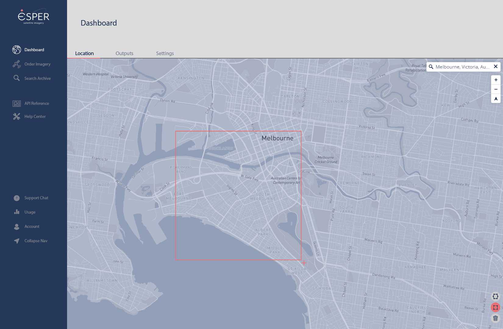
The EarthTones platform offers users the flexibility to select areas of interest, regardless of their size. With our user-friendly interface, users can easily draw on the map to specify their exact areas of interest. This feature empowers users to focus on specific regions or locations that are of particular importance to them, providing a targeted and customized approach to gathering hyperspectral data. Whether it's a small plot of land or a larger geographic area, EarthTones puts the control in the hands of users, ensuring that they obtain the precise information they require.
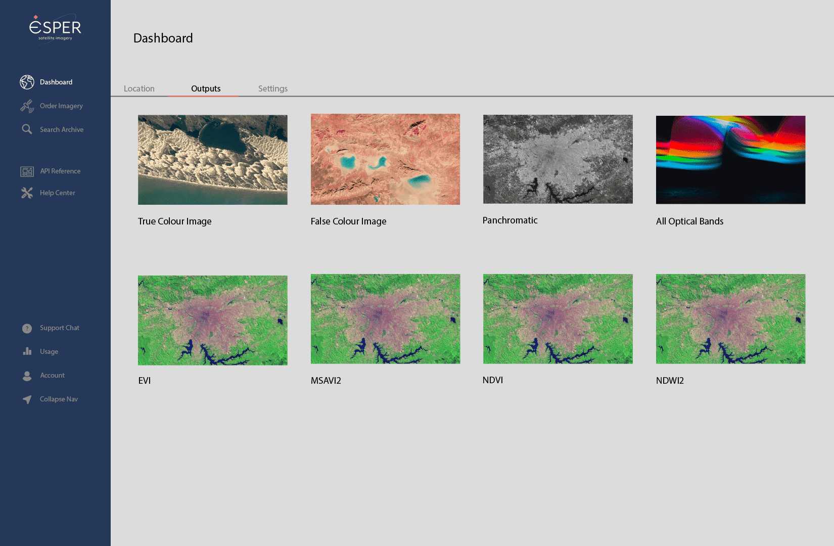
The platform provides users with a highly customizable data acquisition experience. Users have the flexibility to choose their desired output types, such as true colour, NDVI, and panchromatic, based on their specific requirements and intended use. EarthTones takes care of the data processing, ensuring that users receive the information they need in their preferred output formats. To further tailor the data acquisition process, the EarthTones platform offers various filtering options. Users can adjust parameters such as image resolution, date range, interval, and percentage of visible surface to refine their data selection. These filters enable users to precisely define the scope and granularity of the information they wish to obtain, enhancing the relevance and accuracy of the acquired data. Once the data has been processed, the images are conveniently available for download on the EarthTones platform. Users can access the images in popular file formats like GeoTIFF or PNG, ensuring compatibility with a wide range of software and tools commonly used in geospatial analysis and visualization.
Why use EarthTones?
Highly Accurate
A higher level of spectral detail gives better capability to see the unseen.
Broad Range of Applications
The rich data set allows you to manipulate the data to suit your needs and get the information you require.
Low Cost
Only pay for the area of site-specific points of interests.
Real Time
Allows for rapid assessments supporting time sensitive decision making.